Dammi indicazioni precise, 2019

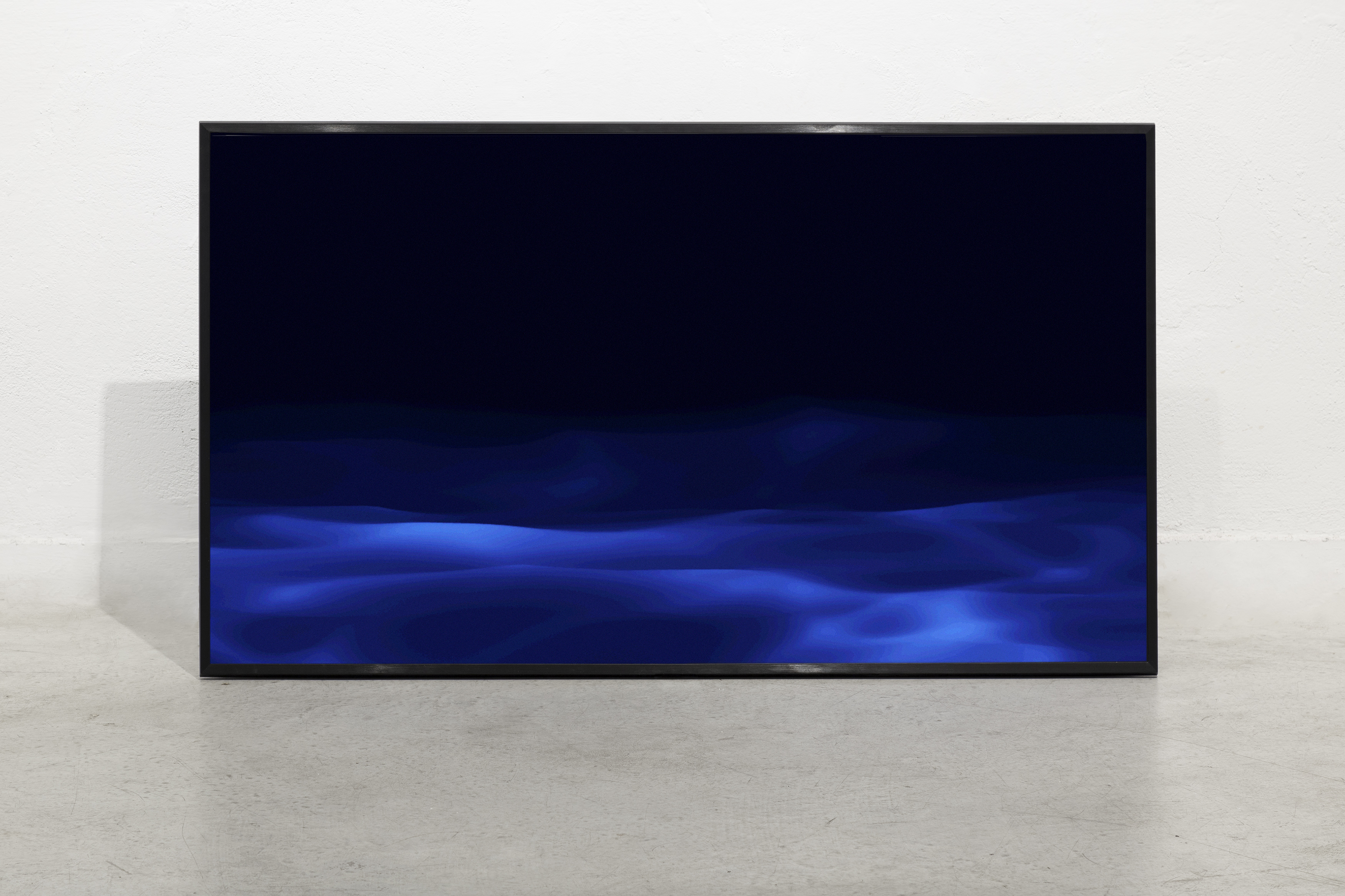
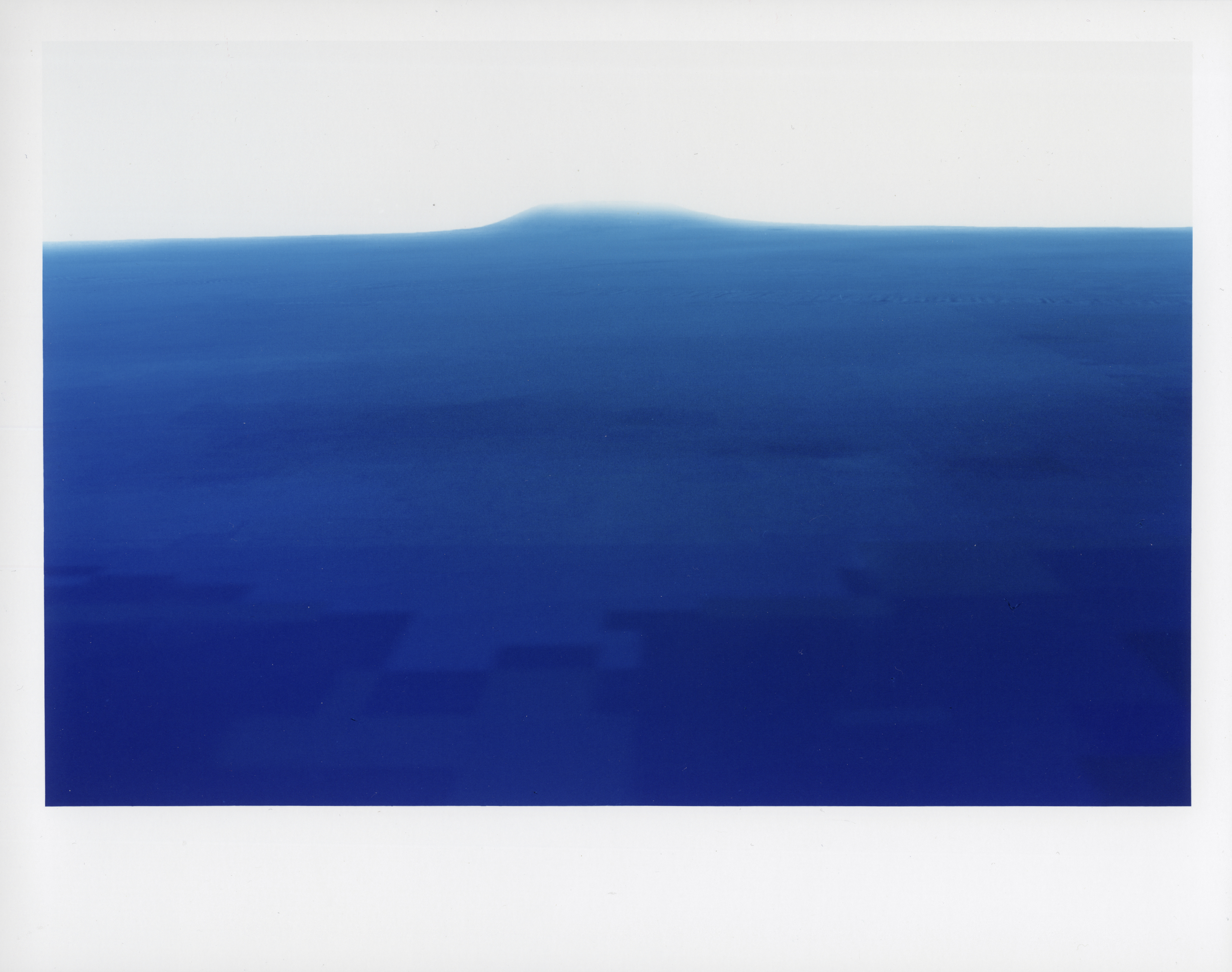
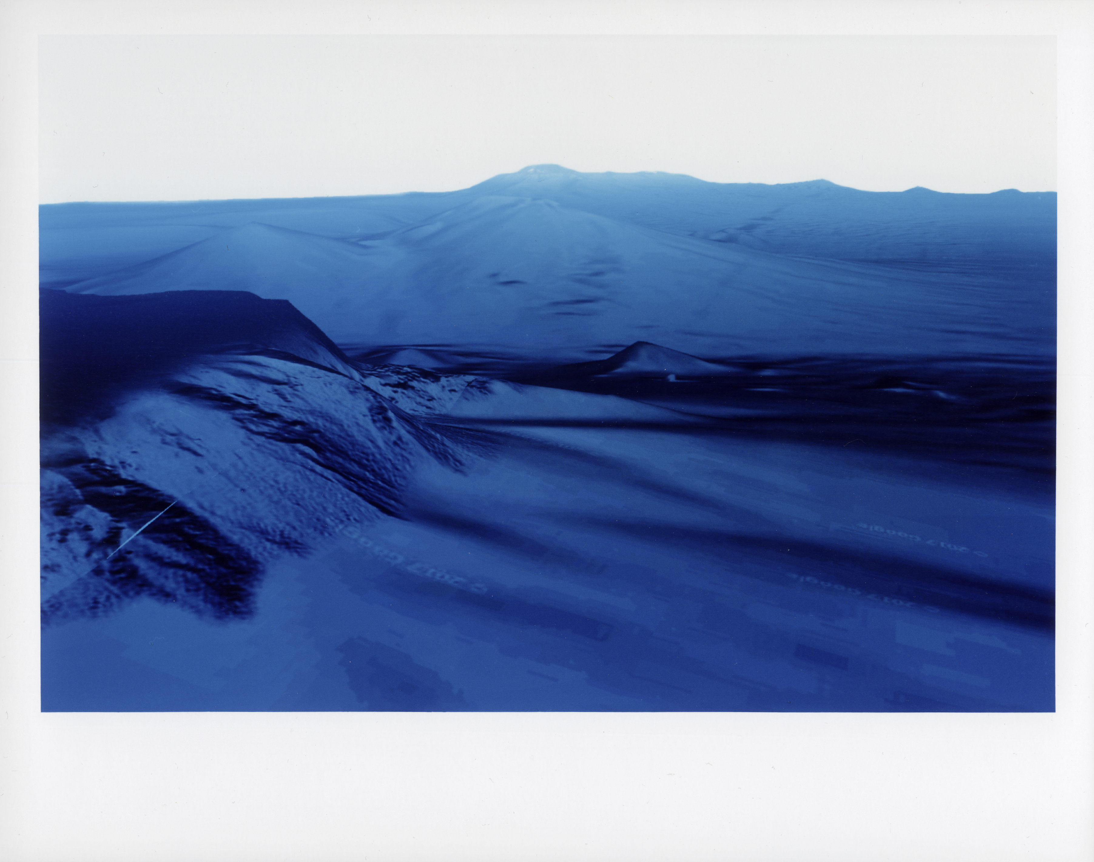
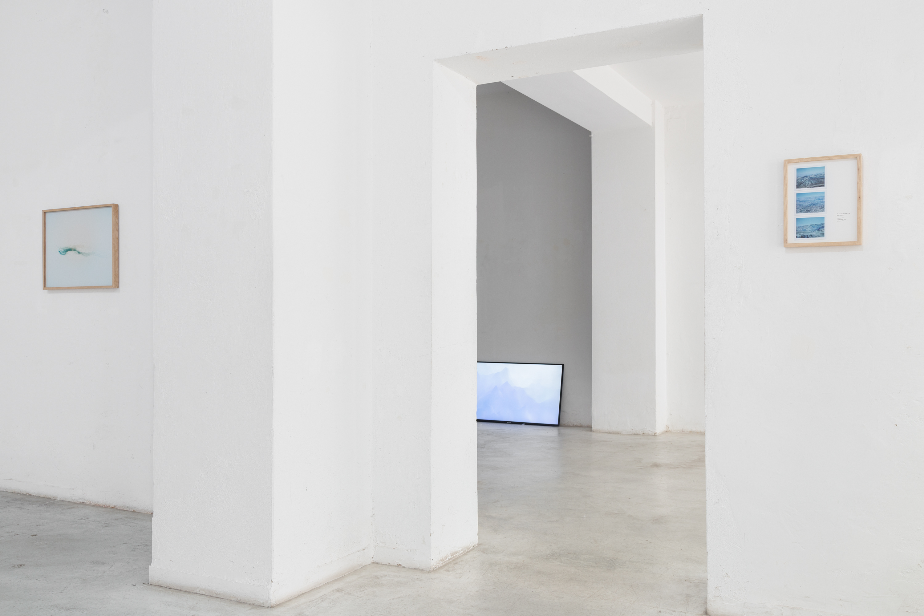
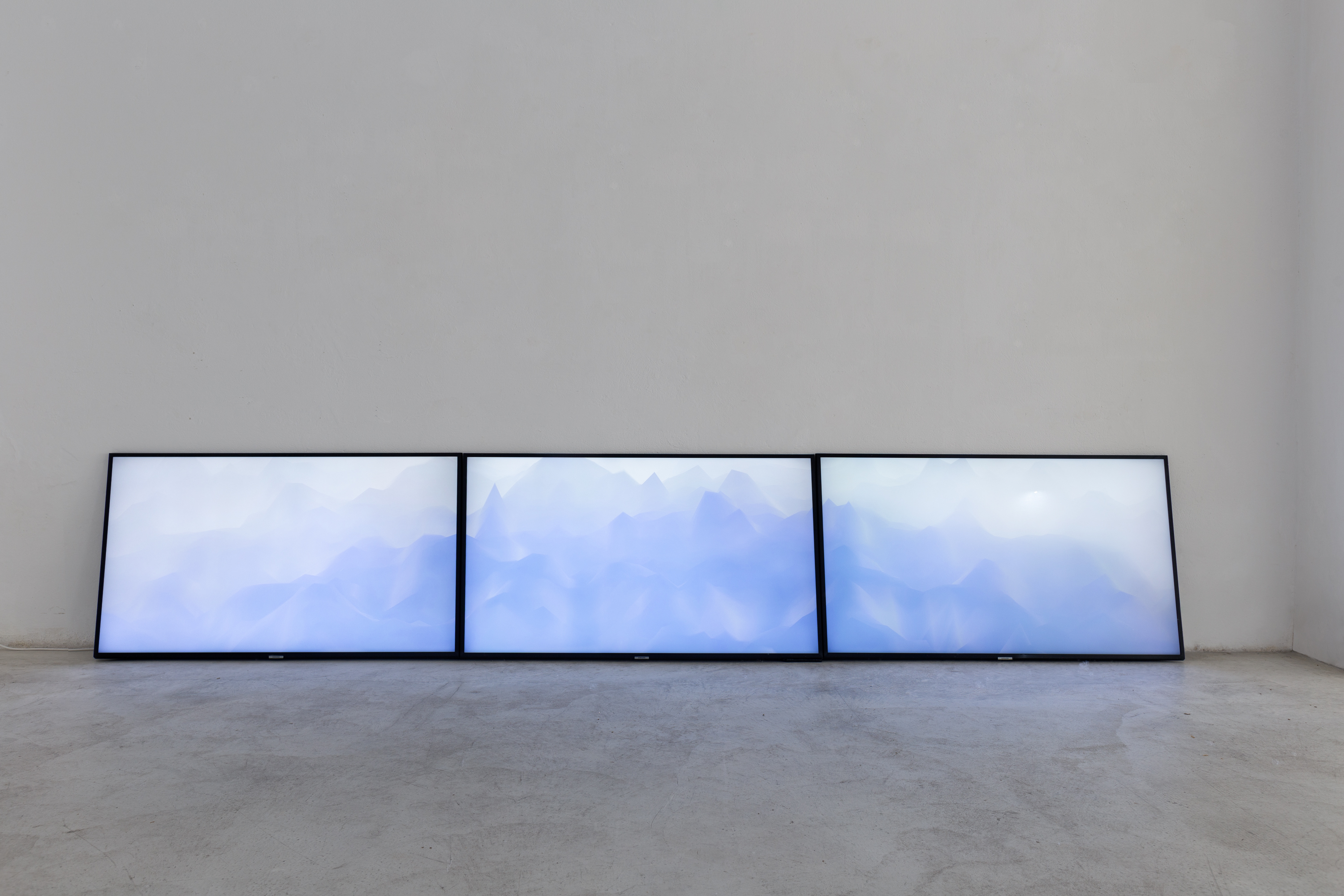
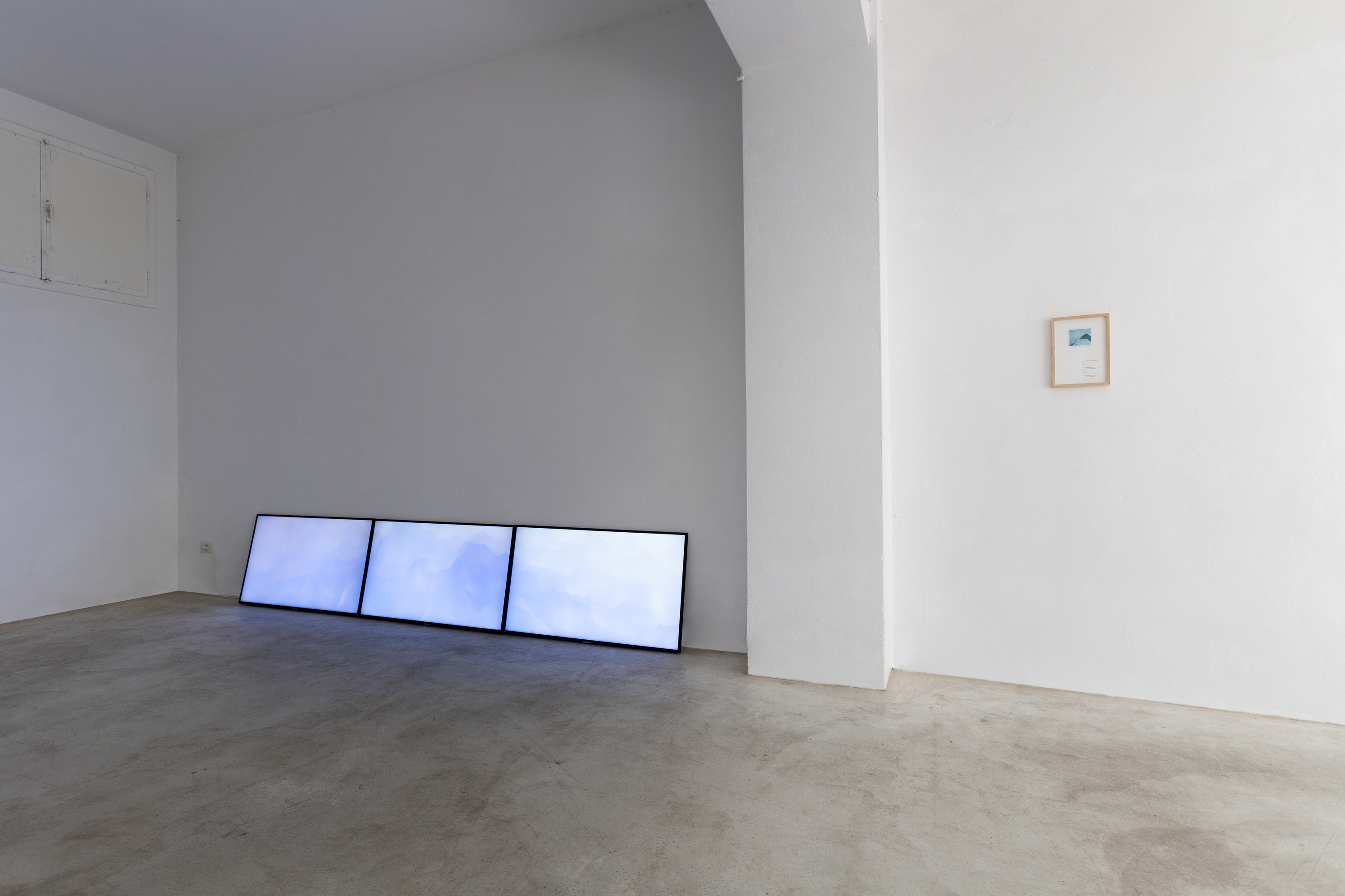
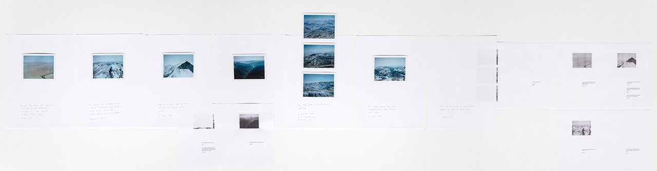
2019, real time video installation

Giulia Spreafico e Alex Cayuela

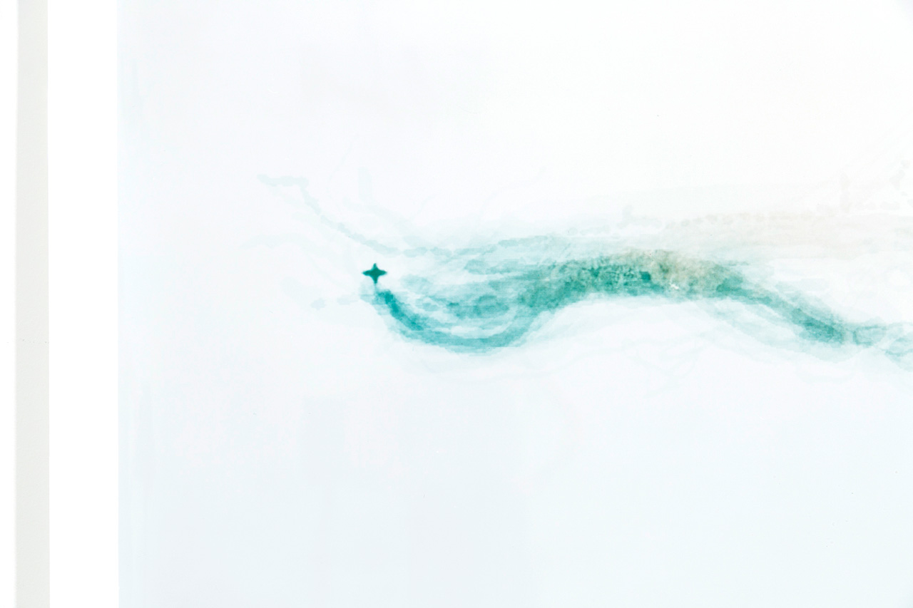
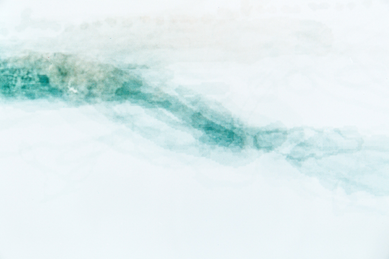
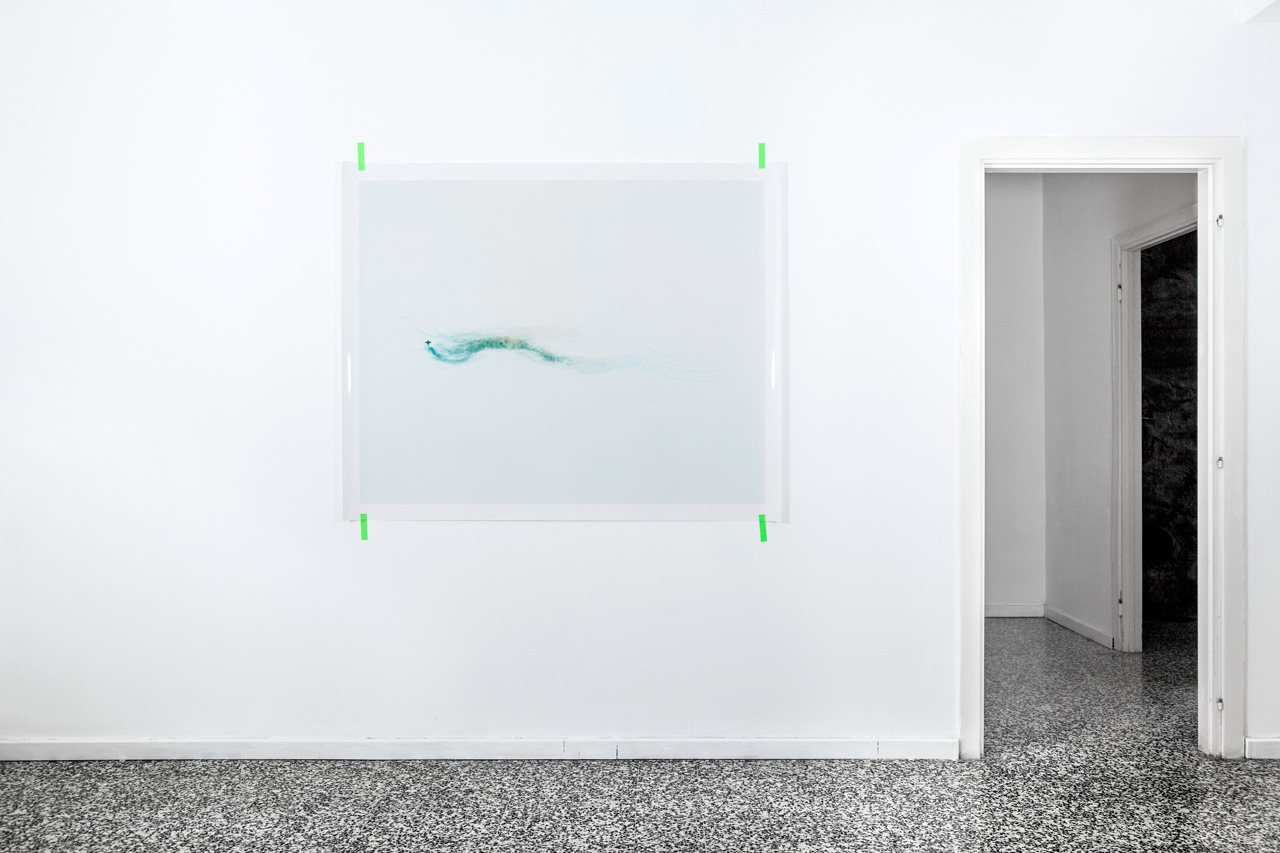
Il progetto rielabora, attraverso un software di progettazione multimediale, le coordinate della dinamica molecolare del Retinale, piccola molecola che è alla base della visione; ogni volta che un fotone raggiunge un retinale, questo cambia forma e innesca tutta una serie di reazioni che portano il segnale al cervello. I dati della dinamica molecolare del Retinale, che si muove dalla forma CIS a TRANS, sono inseriti in un software di grafica 3D, dando vita ad un mare notturno che si muove sul movimento della molecola. Una webcam posizionata in mostra, rileva il passaggio degli spettatori e muove il paesaggio.


Floating Islands, 2019

series of 22 c-prints, 6×9 film

Floating Islands is about the Republic of Kiribati, which is going to disappear in few decades due to the global warming.

Little spots in the Pacific Ocean, placed in a point over the International Date Line and between the two hemispheres, they rise only one or two meters above the sea level.

Nearly unreachable and in the middle of nowhere, the Kiribati Islands are the perfect destination to be experienced through Google Earth. In Floating Island the 22 inhabited islands of Kiribati are depicted from the vision of a western traveller using a western tool: they are like peaceful mountains made of water, a rendered ocean made of numbers, pixels, measurements and colors.


From The Best Authorities, I do believe, 2019

3 channels UHD video installation in real-time, in collaboration with Alex Cayuela, Marco Ginex and Paolo Romano

I do believe, 2019, is the last chapter of this research. It draws attention to the power of words as something that supports a visual creation and makes it believable and trustworthy.

I do believe is based on the data taken from the Google browser that concern to the words that compose Kong Mountains. Google Trends is the tool that allows the user to look up what people all around the world ask to Google: through the research of a keyword it is possible to find out how many times it has been looked for, with what frequency and what other words are related to it.

I do believe creates a visual image in real time, which modifies itself over and over again as people look up the Kong Mountains. A software processes the data and generates a huge chain of mountains that transform all the time.

Full text of the project here: i do believe – project description

From The Best Authorities, The words of Kong, 2017

8 color instant films and black and white inkjet prints

The Kong Mountains survived for nearly a century thanks to the words and the detailed stories of the explorers. Scientific descriptions alternated with moments of pure poetry, in an incredible zeal which tells us about mountains rich of gold, so high to seem impossible to overcome, deserted but crossed by rivers, covered by snow and colored of an incredible blue. The instant films becomes the witnesses of a completely reconstruct reality. They prove, ask for faith, just because of the immediacy which is the nature of this medium.

From The Best Authorities, Shaping Kong, 2017

6 gelatin silver prints, 30×24 cm 2017, c-print, 125×156 cm

The first steps of the project consist on a series of 6 black and white gelatin silver prints and a c-print. The images are the results of a graphic processing of Kong Mountains, in the 47 variations that appeared in maps between 1798 and 1888. What are Kong Mountains? Which could be the contemporary answer to the nothingness that cartographers tried to face? I take the silhouettes of the Kong Mountains, drawn by nineteen’s century cartographers, and put them back in Google Maps, matching their original position. As a result I create contemporary Mountains of Kong, composed using satellite pictures, empowered by today’s cartographical authority which has disproved and replaced the traditional one.

From the Best Authorities, 2017

From The Best Authorities tries to explore the mysterious Kong Mountains, existed between 1798 and 1888. They were a huge chain, a parallel line going along the equator, splitting the African continent from Guinea to Niger. What is intriguing about Kong Mountains is that they never existed except in the imaginations of explorers, mapmakers and merchants. The power of being visual images gives maps a unique role in defining knowledge. Satellites today, just like cartographers in the past, are invested with such an authority that makes every interpretation accepted and validated. The work is about the men who created the Mountains of Kong, the words they used and tries to imagine what they would look like today.​

Shaping Kong, 2017 – 6 gelatin silver prints, 30×24 cm || c-print, 125×156 cm

The words of Kong, 2017 – color instant film || black and white inkjet prints​  

He might have seen an Inselberg, 2017 – c-print, 66×100 cm

I do believe, 2019 – 3 channels video installation, real time video, in collaboration with Alex Cayuela, Marco Ginex, Paolo Romano

bestauthority.tumblr.com


Chiudende, 2016

Chiudende (from Latin “which has to be closed”), 2016, arises from a Sardinian folk song written in 1820 against a decree that proclaimed the private ownership. The idea of imposing territorial limits deeply changed the way the inhabitants used to feel the space around them. As a consequence they began to build random borders, made of dry stone walls. The song talks about the excitement that came from the closing of the fields, insofar as “if the sky had been on earth they would have closed it too”. The orthophotographs, taken a hundred years after that decree, are the very first attempt to photographically map Sardinia, to close the earth from the sky. I re-photograph and print in the darkroom these sections of the island, which appear irregular and fragmentary: they take us to the contemporary obsession of satellite mapping, which has its roots in early nineteenth-century need of control.

6 gelatin silver prints, 127×158 cm