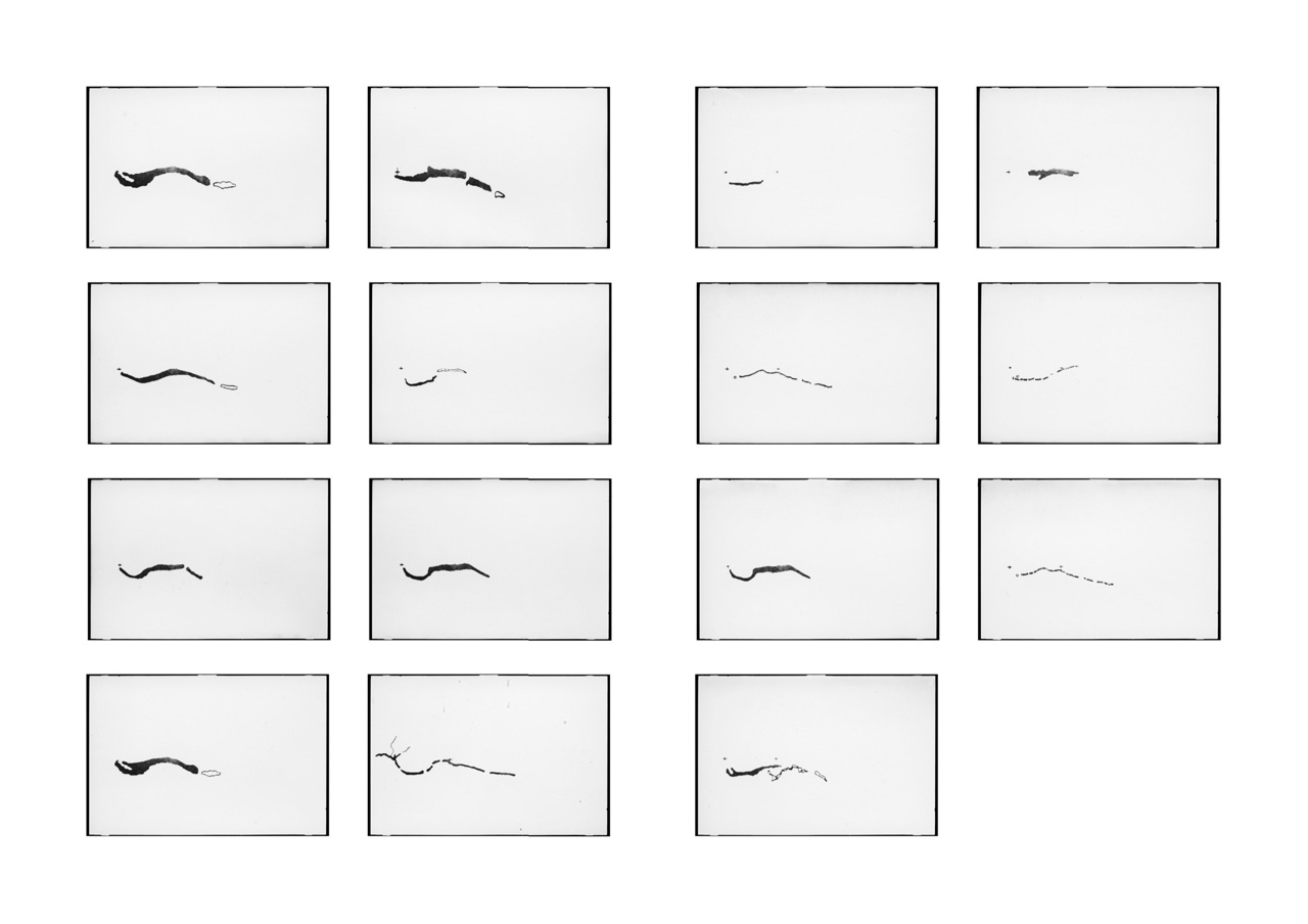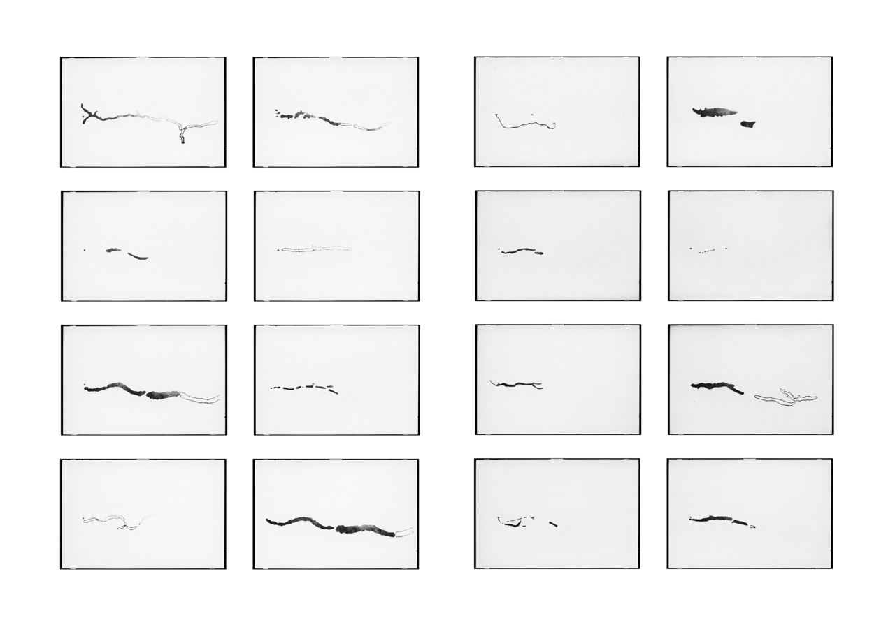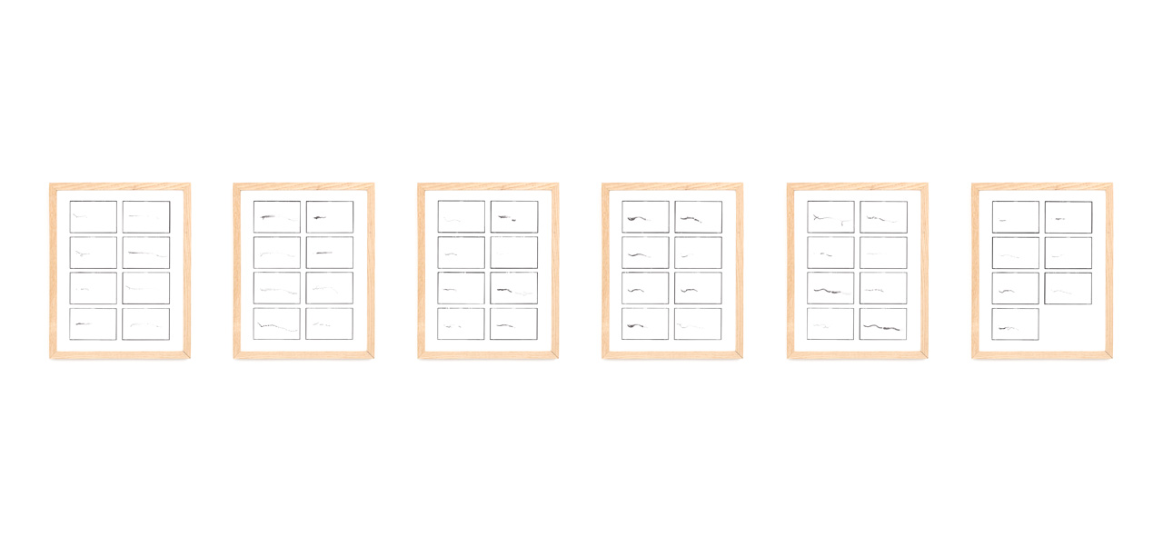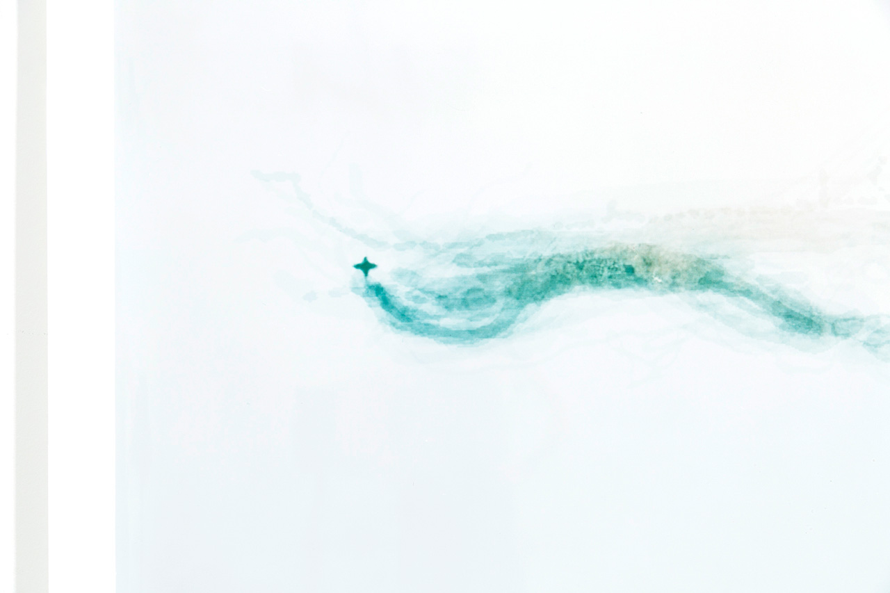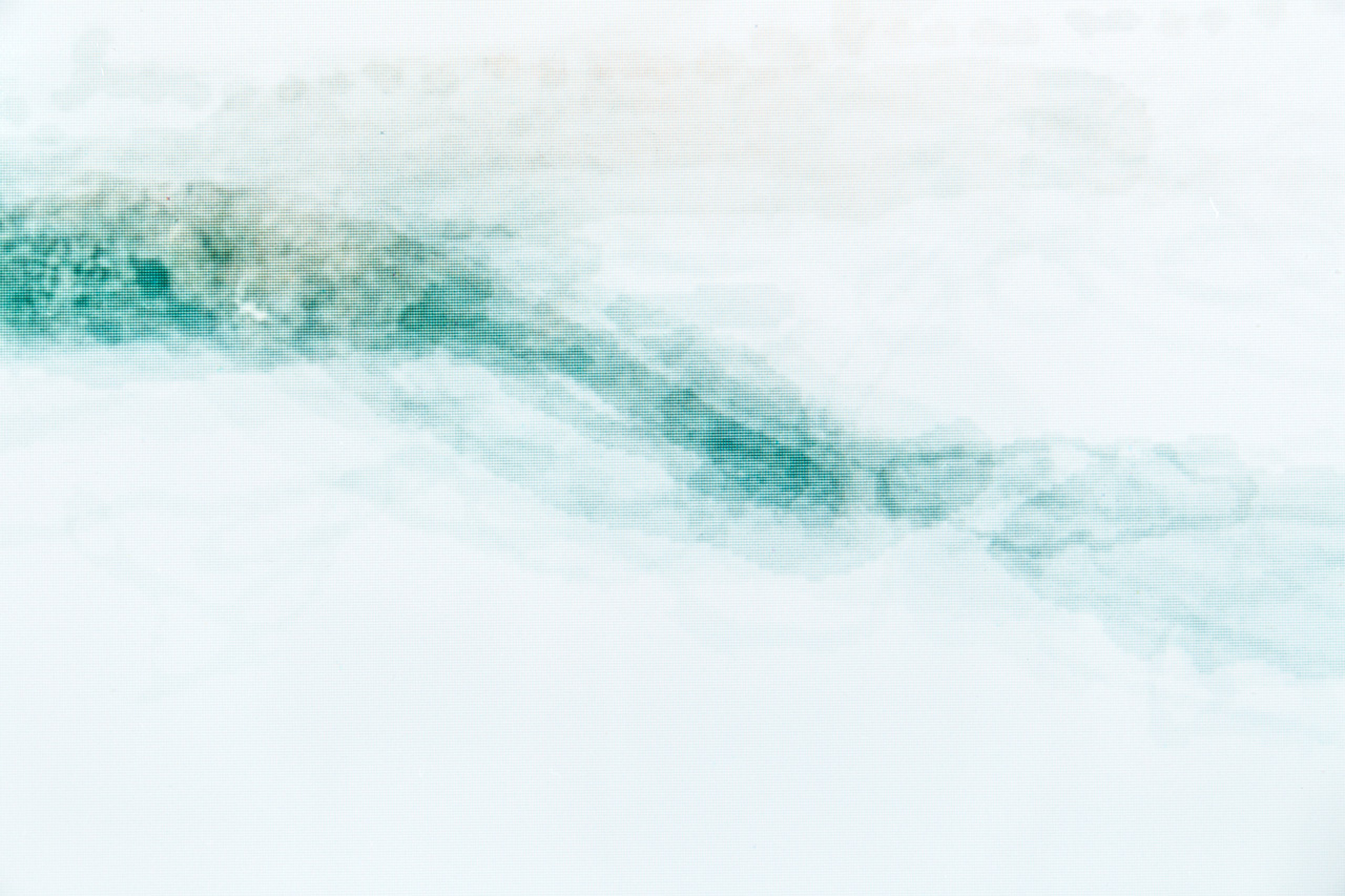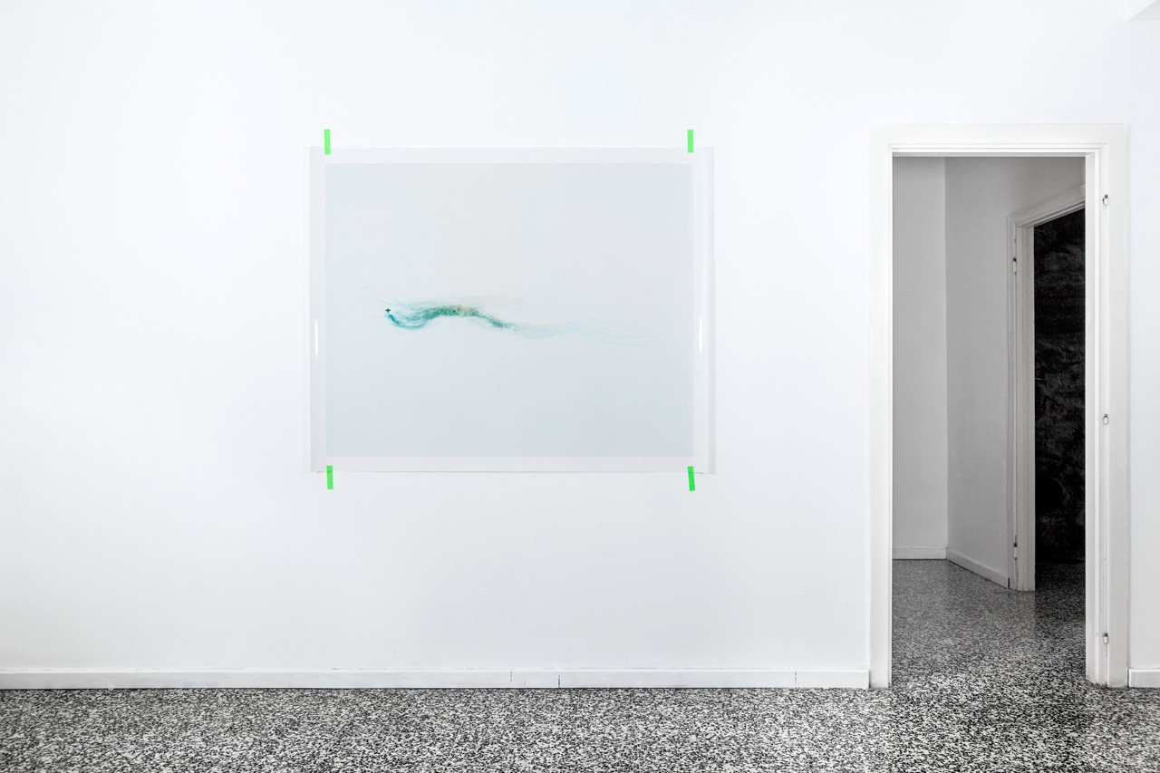
6 gelatin silver prints, 30×24 cm 2017, c-print, 125×156 cm
The first steps of the project consist on a series of 6 black and white gelatin silver prints and a c-print. The images are the results of a graphic processing of Kong Mountains, in the 47 variations that appeared in maps between 1798 and 1888. What are Kong Mountains? Which could be the contemporary answer to the nothingness that cartographers tried to face? I take the silhouettes of the Kong Mountains, drawn by nineteen’s century cartographers, and put them back in Google Maps, matching their original position. As a result I create contemporary Mountains of Kong, composed using satellite pictures, empowered by today’s cartographical authority which has disproved and replaced the traditional one.